


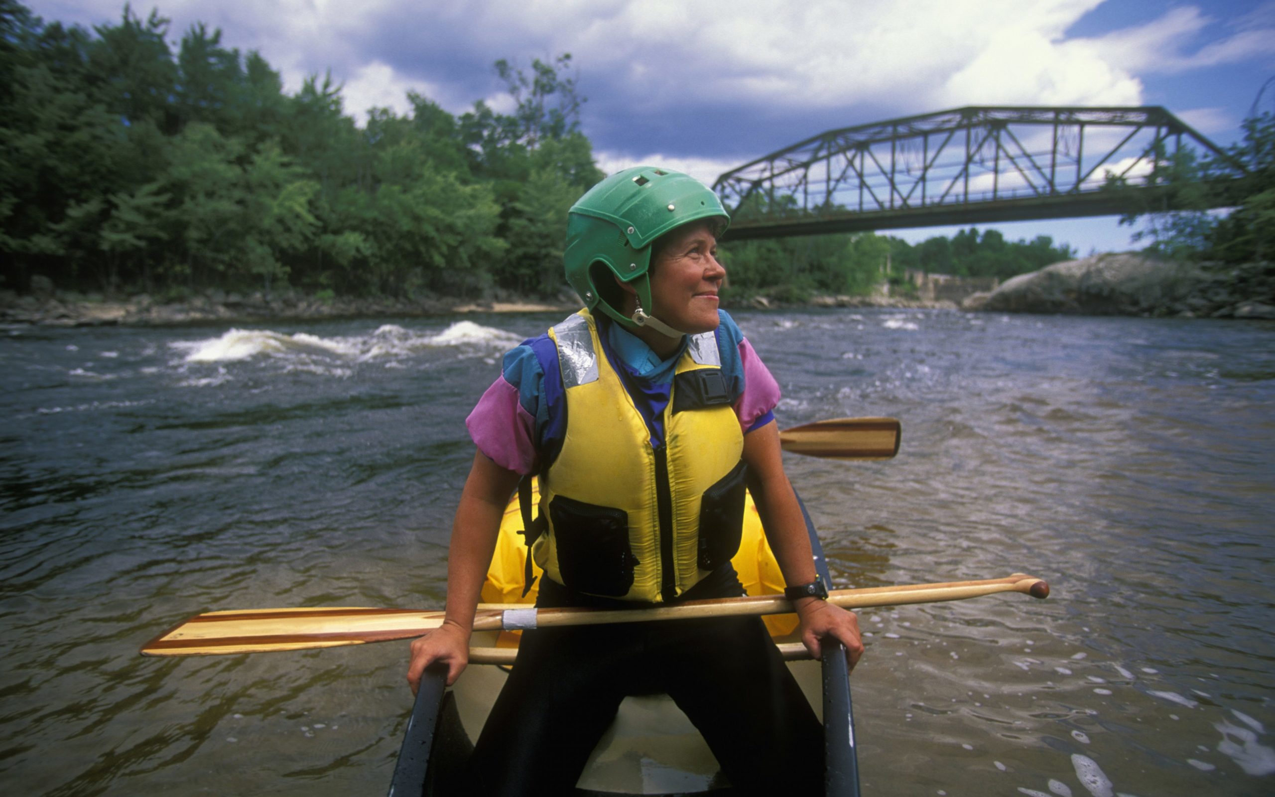
A paddler takes a breather near Steep Falls, Maine, on the Saco River.
From its headwaters in Crawford Notch, N.H., the Saco River flows 130 miles to Oxford County, Maine, and on into the Atlantic Ocean. With gentle water in some places and fast-paced rapids in others, there’s a section of river for everyone—and we do mean everyone. Known as the floating tailgate party, the Saco gets a bad rap for overcrowding and revelry, but there are plenty of serene stretches for those in the know. Each of the sections below can be paddled in a day or less; be sure to check out AMC’s new Saco River Map & Guide, available now, for a description of the entire river, including campground and outfitter locations, river etiquette, and more. Note: For all stretches, you’ll want to spot a second car or a bike at your endpoint, or rent canoes/kayaks from an outfitter that will shuttle you back to your car.
1. First Bridge on River Road to Davis Park | North Conway, N.H.
If you’re looking for the traditional Saco experience, this is it: popular with paddlers and tubers alike. This stretch parallels Route 16 from North Conway’s First Bridge, a great spot to take a dip in the water before launching your boat. The high water creates a strong current that can make paddling upstream more difficult, but shallow water could prevent you from maneuvering efficiently. If you’re looking to avoid tourists, skip this route—although that also means missing the views of peaks in the east and west that make this ride worthwhile. There’s a parking lot off River Road in North Conway, just under the railroad; get there early to ensure a spot.
Level: Class I (Easy)
Length: 8.5 miles one way
2. Davis Park to Smith-Eastman Town Park | Conway, N.H.
Partially sandy Davis Park looks like a mini beach: a good resting spot and launching point for this stretch that includes a fair amount of whitewater. First up is Conway Rips, a manageable and enjoyable rapid for all levels of paddlers. In contrast, Powerline Rapid at the end of the stretch can be rough and even create waves but maxes out at a doable Class II, with quieter water following. There’s no easy takeout before Powerline, so only consider this stretch if you are comfortable with whitewater. You can rent a boat at Saco Canoe Rental, next to Davis Park; park by the Covered Bridge off East Side Road and launch from there.
Level: Class II (Moderate)
Length: 2.5 miles one way
3. Walker’s Bridge/Route 302 to Hiram, Maine | Fryeburg, Maine
Walker’s Rips is a Class I (Class II at most) rapid that speeds up in high water but is still doable for the average paddler. After Walker’s Bridge, there’s a worthwhile detour to Pleasant Pond, providing views of the White Mountains in a peaceful and remote location. Be cautious of nesting birds when entering Major Gregory Sanborn Wildlife Management Area, surrounding the pond. Also be cautious of crowds: This stretch is smooth and enjoyable overall but may overcrowd by the campsites near Brownfield Bridge. Parking is located off Route 302 at Walker’s Bridge; a path leads from the parking area to the river, with a put-in nearby.
Level: Class I (Easy)
Length: 23 miles one way
4. West Buxton Dam to Skelton Dam | Buxton, Maine
You can expect a smooth and tranquil ride along this stretch—until you reach Skelton Dam, where the water gets choppy. If you’re a confident paddler, you’ll be fine. If you’re less so, there’s an easy takeout. Either way, launch off Route 112 near West Buxton Dam; exit the river at Pleasant Point Park if you want to skip the rapids. Thrill seekers will find this section worth the ride for the views of riverside farms and forests, but be cautious of motorboats in the area. If you’d like to extend your time on the river, continue on to Cataract Dam.
Level: Class I (Easy to moderate)
Length: 8.5 miles one way
5. Skelton Dam to Cataract Dam| Buxton, Maine
The difficulty on this part of the Lower Saco fluctuates. Past Skelton Dam, you’ll encounter some high-speed currents, but those settle down by the bridge on Route 5. You’ll hit another choppy section right before you paddle under Route 95; from there, the water mellows out. This section of the river is known for being pure and clean, making it a good spot to take a dip. Spot a car at either Rotary Park or Diamond Park, shuttle back to Skelton Dam, and launch your boat from there.
Level: Class I-II (Easy with some moderate points)
Length: 11 miles one way